Alaska
September 24, 2016
Driving the Dalton Highway to the Arctic Ocean.
Starting in fairbanks
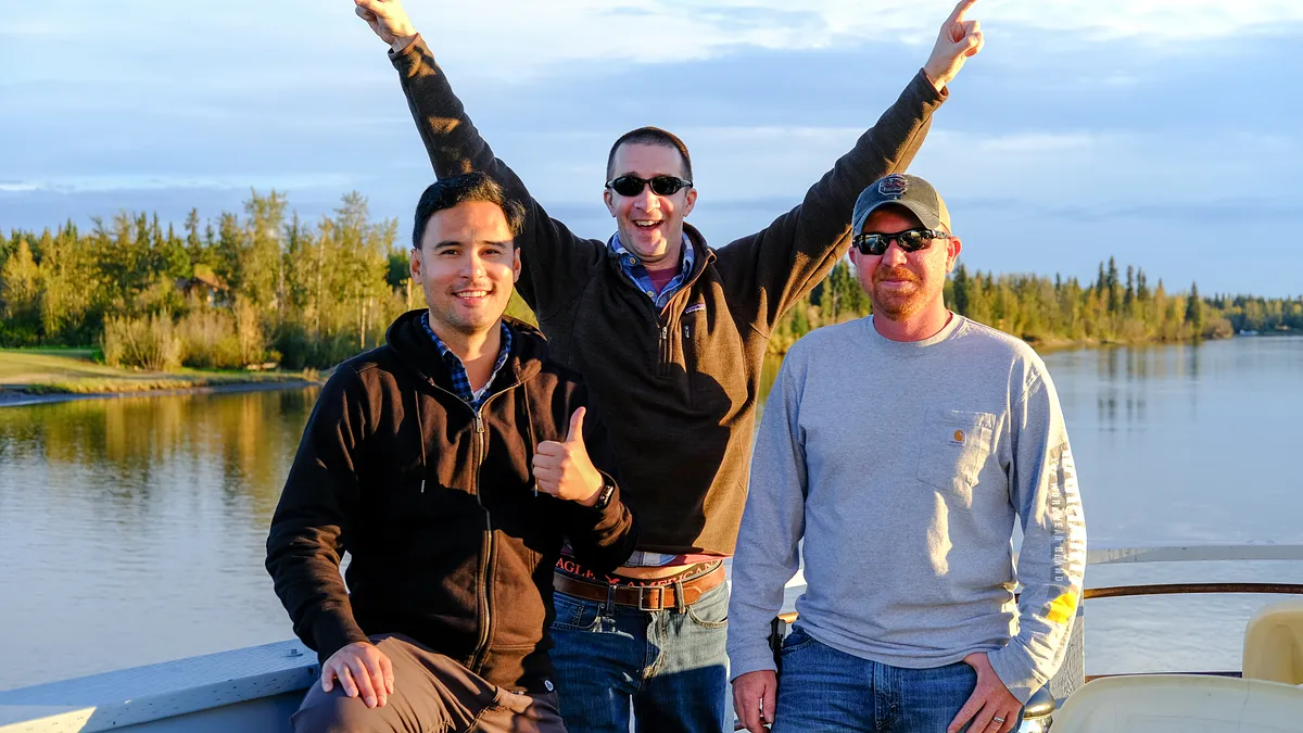
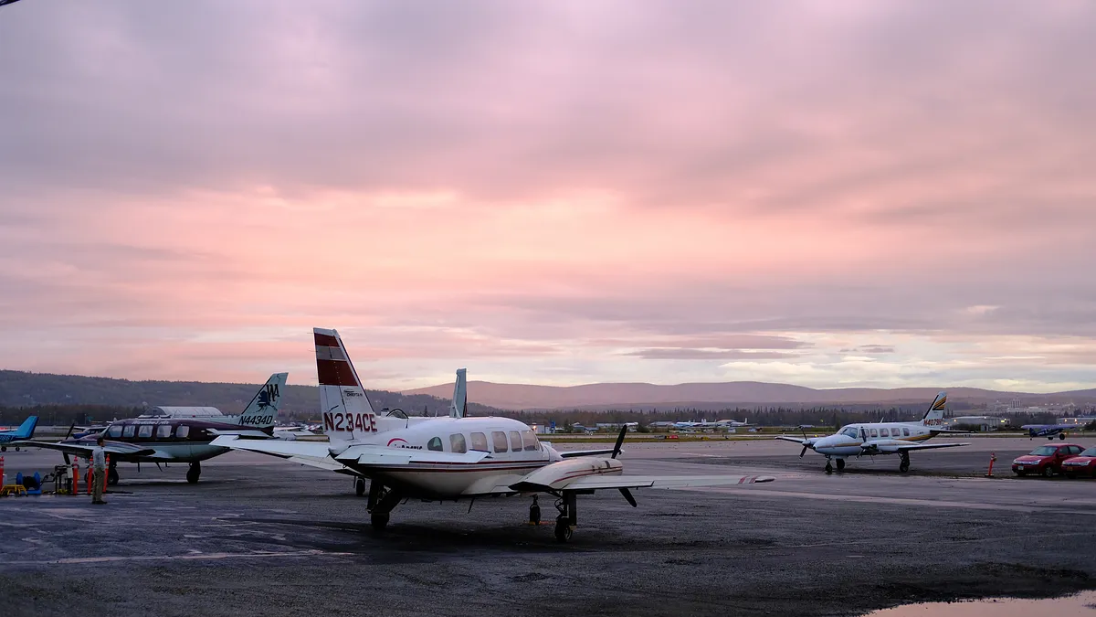
“Hey Brian, I have an idea for a trip. It’s not just any kind of trip, but I think you’d be interested. Do you want to hear more?” Those were the words that I heard as Jack, my friend from college, spoke with me on the phone last winter. “I’m planning a trip to the Arctic Circle in Alaska….”. I was intrigued. “….and then we’ll drive up about 300 more miles on one of the most dangerous roads in the world to get as close as we can get to the Arctic Ocean. So….do you wanna go?”. I paused and thought about it for about 5 seconds. “I’m in.” We flew into Fairbanks on separate flights about 9 months later. I was traveling from San Francisco, and Jack and Kerry flew from Charlotte, North Carolina. I arrived a day earlier since my flight wasn’t as long, and I wanted to have some down-time before the trip officially began.
the Dalton highway
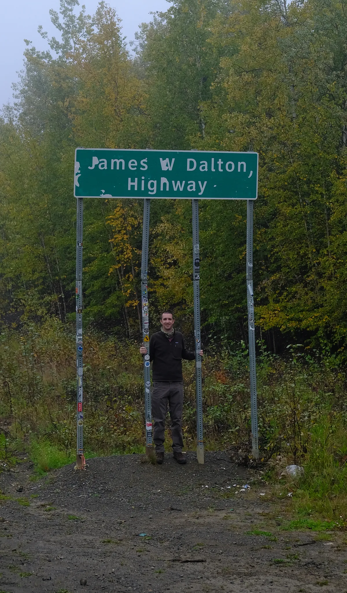
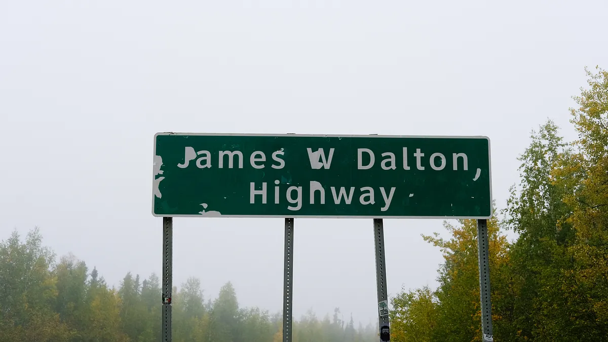
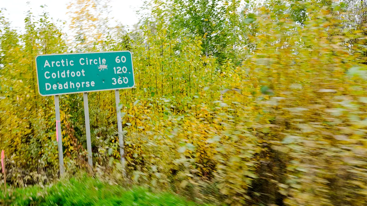
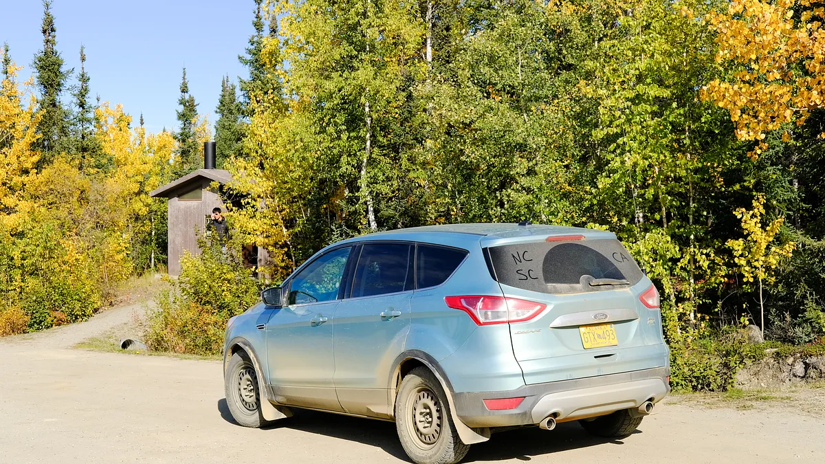
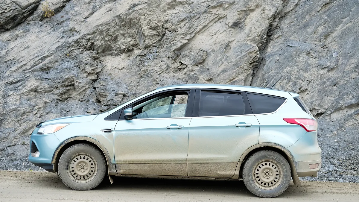
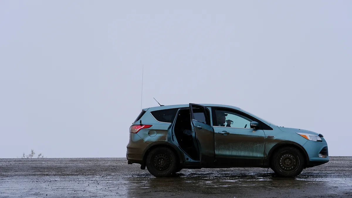
The Dalton Highway is a 414 mile road in Alaska that would lead us up to the northernmost point that we could take ourselves. It is maintained year-round and mostly used by truckers carrying supplies to the oil field town in Prudhoe Bay, where oil workers are basically the only residents. We woke up around 6:00am on an early September morning and set off from Fairbanks around 8:15am after filling up the tank and getting last-minute supplies, such as water and snacks. We were aware of the dangers of this trip, but knew if we could pull it off that it would be an unforgettable experience. We were to be in some of the most isolated places in the United Sates, with the closest medical facilities being far, far away. We had trained in our own ways for this trip - camping, hiking, working out, swimming, hunting, road-tripping, running, and acquiring the appropriate gear. If worst came to worst, we would be surviving in our own in the frozen arctic tundra for hours or even days. We had to be prepared. Our vehicle, a modified Ford Escape with two full-size spare tires, tire changing and medical kits, and a CB radio, would serve as our primary home base for the next 4 days.
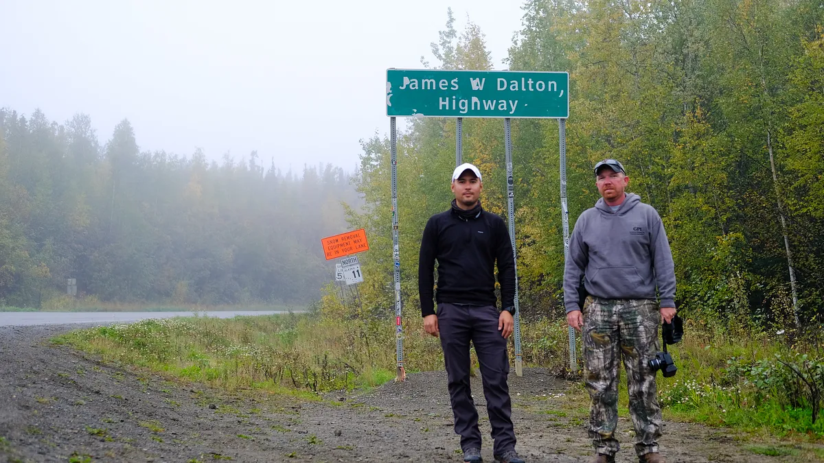
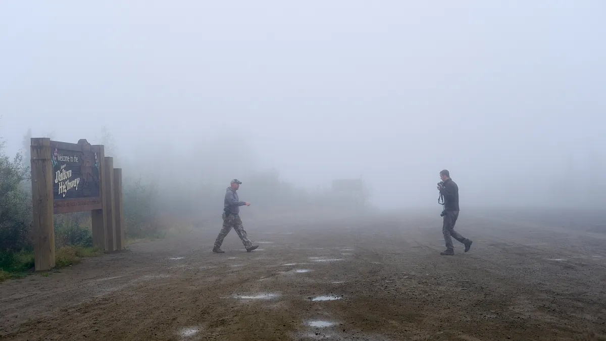
rocky terrain, beautiful views
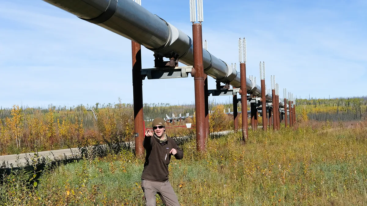
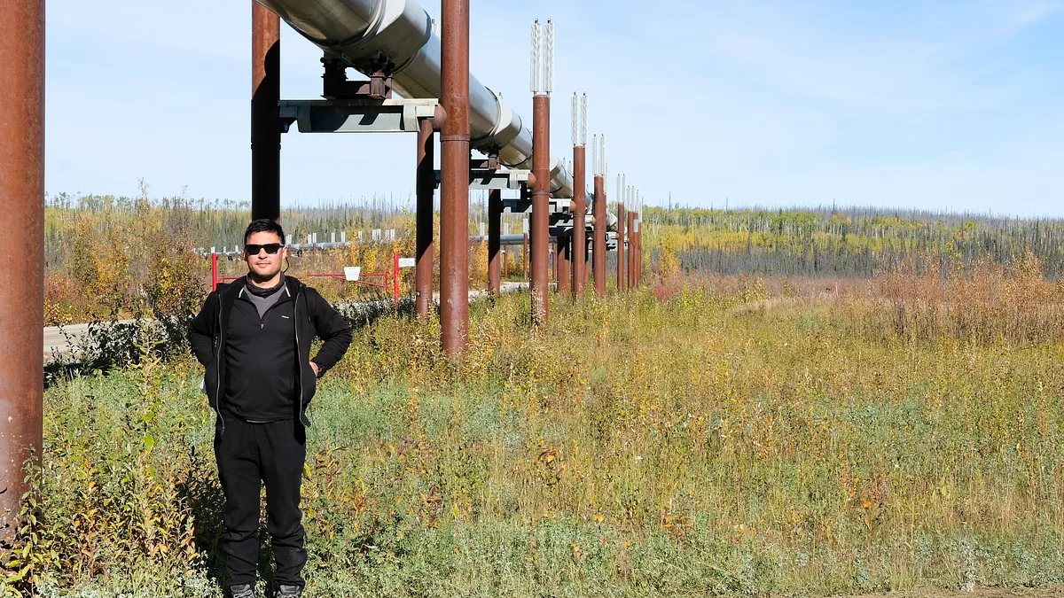
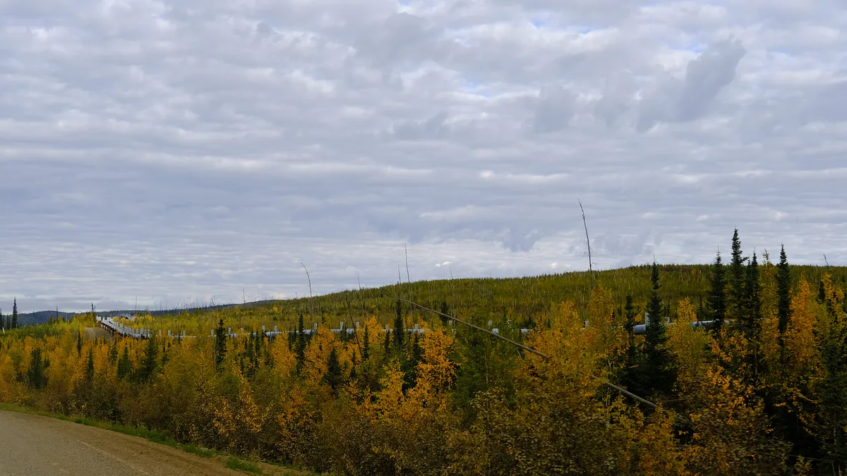
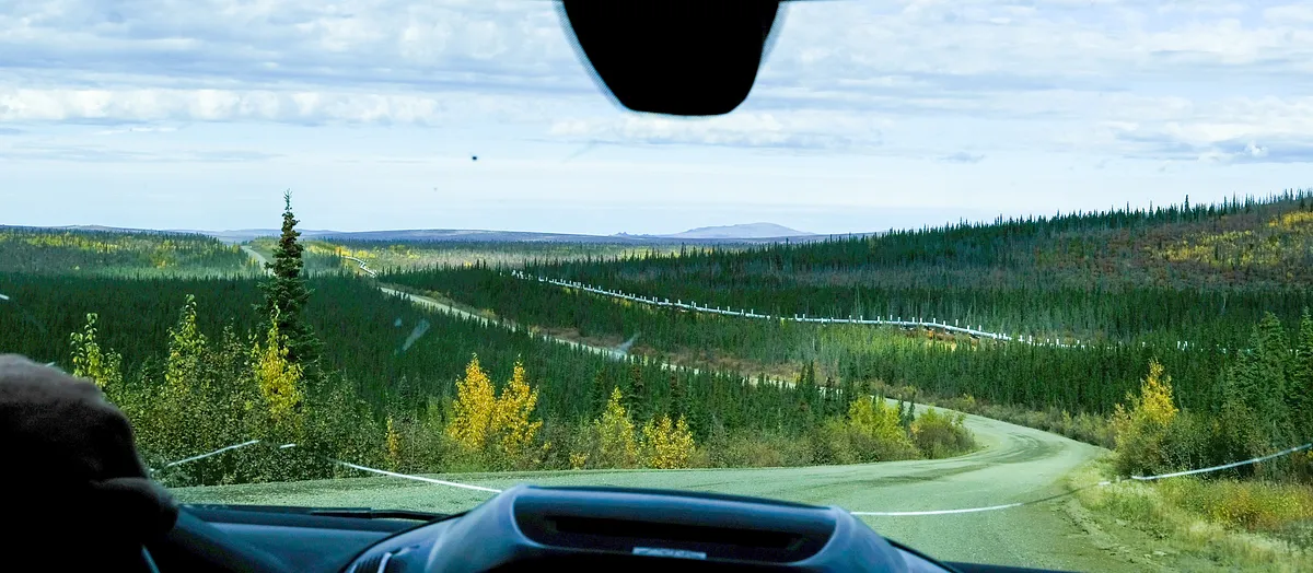
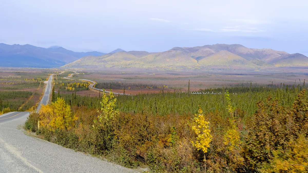
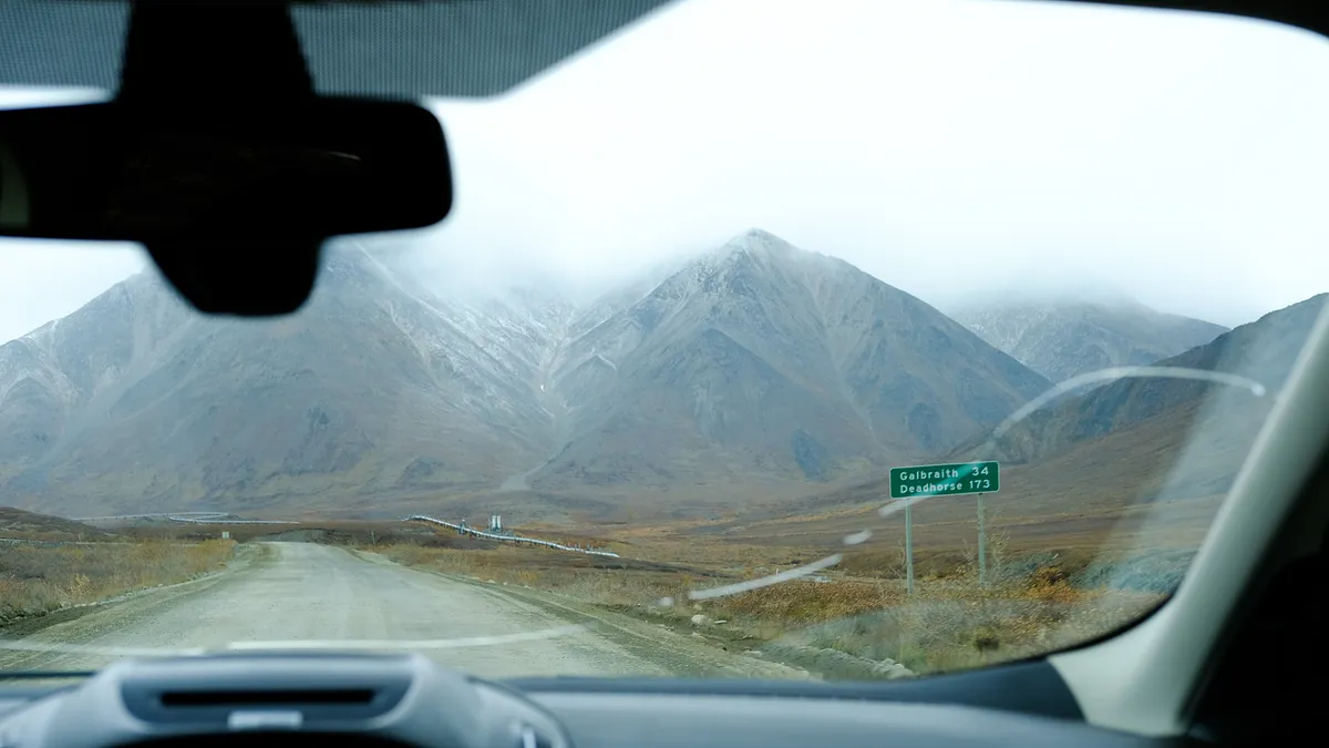
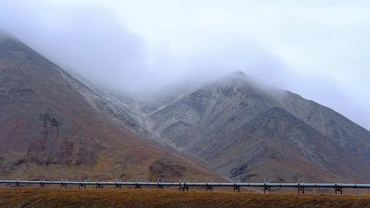
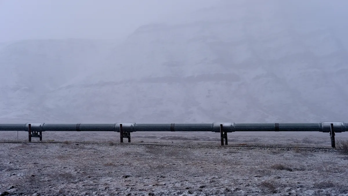
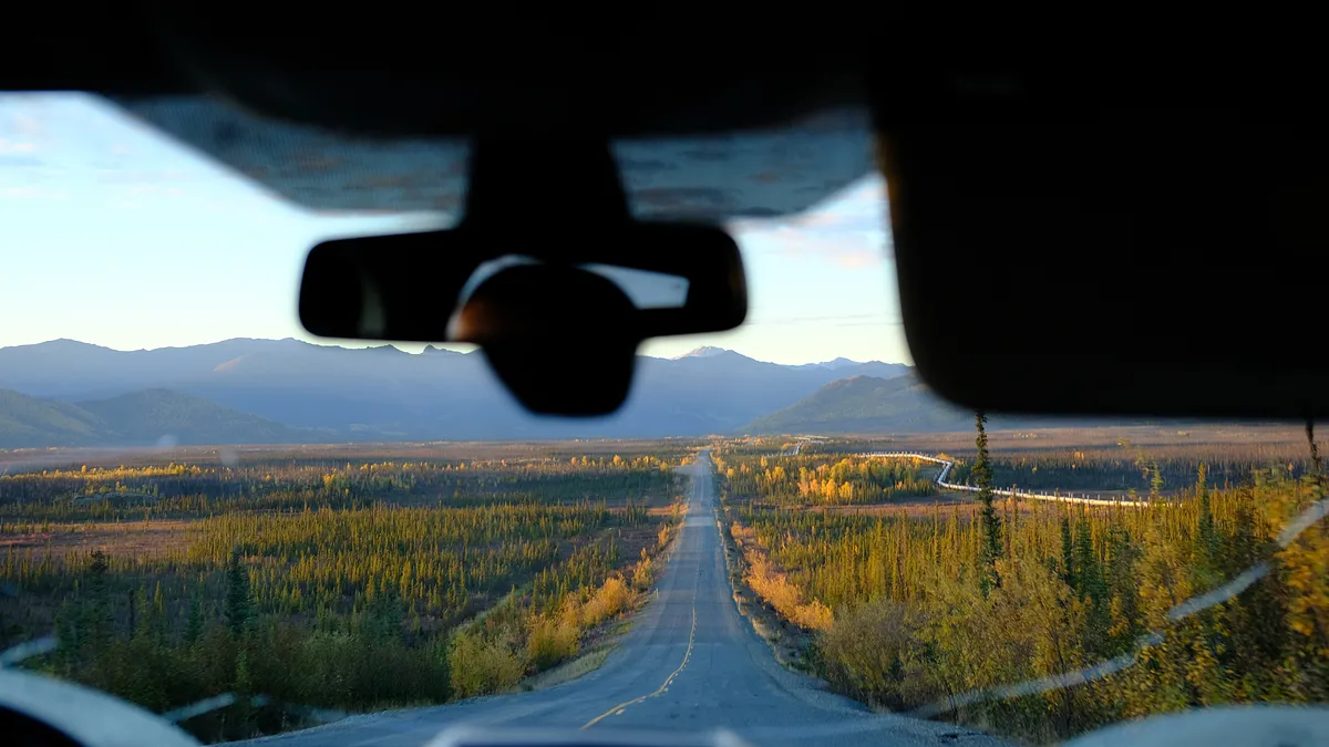
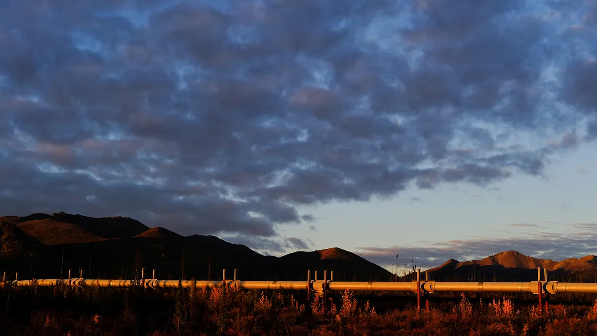
I sat in the back of the Escape, nestled amongst duffel bags and camera equipment, and started to take in the scenery. My primary camera, a Fujifilm X-Pro2 with accompanying 35mm WR lens, had to be within reach at all times. A GoPro mounted to one of my duffel bags with a flexible clamp mount would capture the interior, for timelapses mainly, and another one was stashed in my day bag for easy access when stepping outside of the vehicle. As the oil pipeline snaked it’s way alongside us, we racked up the mileage. The contrasting wilderness against this man-made product of engineering was stark. It was comical at times - sometimes disappearing for a few moments and then reappearing on the opposite side of the road. If it disappeared we knew it wasn’t very far away. Many hours were spent thinking: “how did they do that?”. I could only begin to imagine what this place would look like once the snow falls, knowing that warm crude oil was making its way down south to Valdez during the dead of winter. It’s fascinating what was built on the permafrost here in the 1970’s.
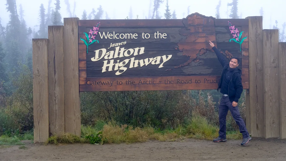
Yukon river, coldfoot, and deadhorse camps
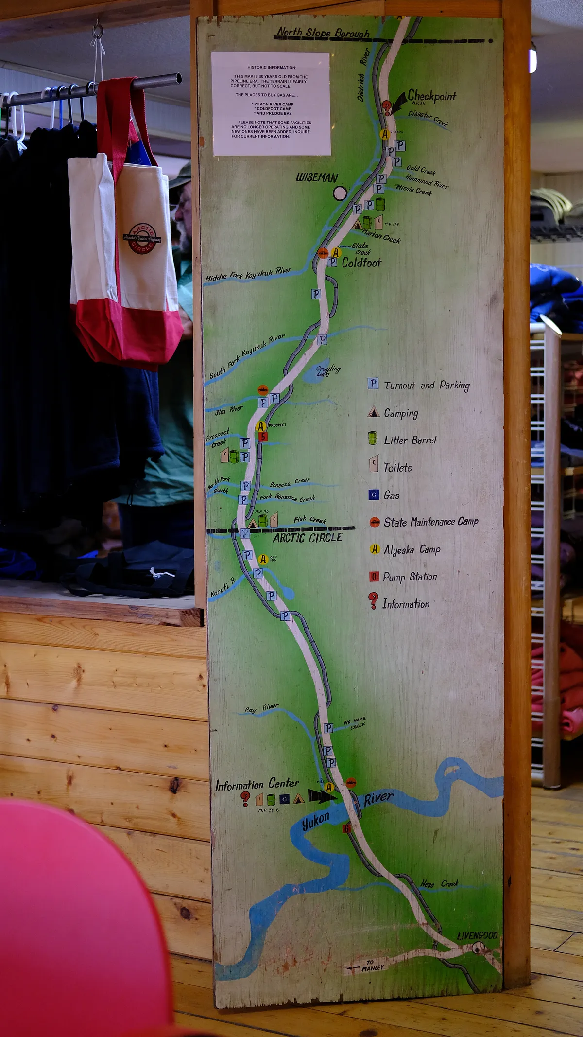
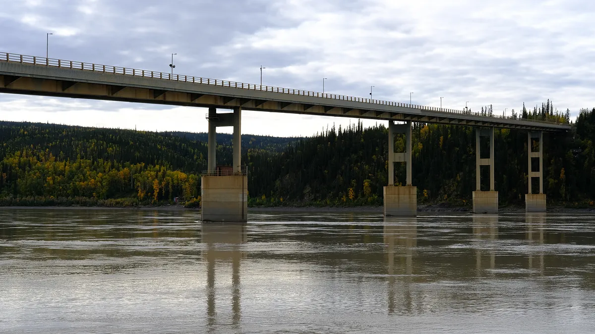
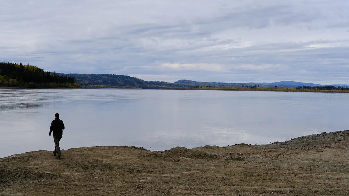
The first oasis came to be Yukon River Camp. We ate surprisingly good food, and filled up on coffee. They were closing for the winter in 2 weeks we learned. We were at the tail-end of the summer, so we had to move fast.
expansive views from here on out
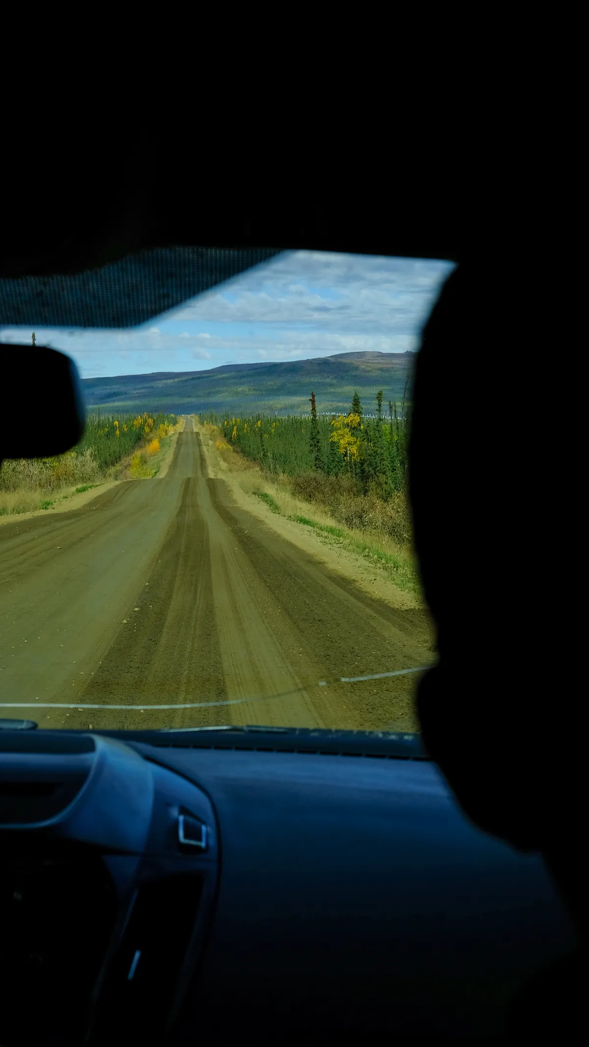
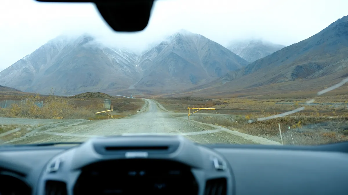
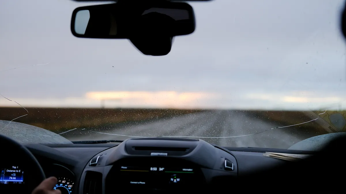
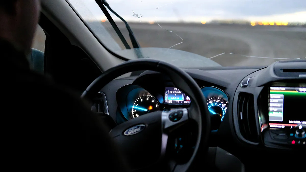
The weather couldn’t have been any better for sightseeing. It was unfortunate that we already had 2 new cracks in our windshield due to oncoming traffic at the start of the Dalton Highway, but it made sense that the expedition company wouldn’t replace a windshield for a couple of small cracks when it could handle a lot more. We made a few stops once the scenery opened up, and the road conditions changed frequently. We were just getting a taste of what we would be experiencing on the rest of this trip, but it was a nice change of pace from life in a big city.
wildlife refuges
We were gazing at the Kanuti and Yukon Flats National Wildlife Refuges before too long. I don’t think I’ve seen anything like it before. We’d pass the occasional truck or other highway adventurers every now and again, but for the most part it seemed like we were the only ones on the road.
arctic circle crossing
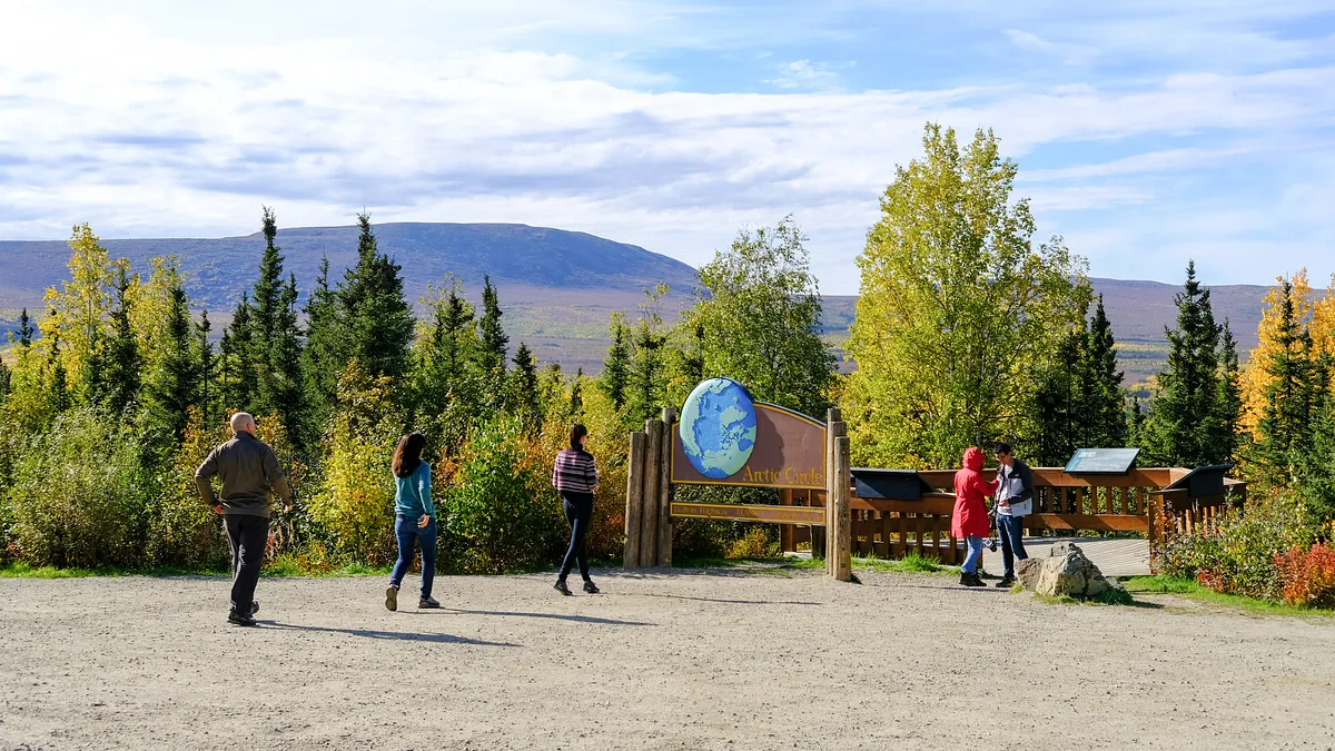
We made it to the Arctic Circle crossing eventually. There was already a small crowd at the signpost, including a family from Costa Rica, when we arrived. They were very friendly. So at this milestone, I had two things in mind that I wanted to accomplish:1. Do a handstand2. Play hacky sack I succeeded in doing both, so I checked that off my list.
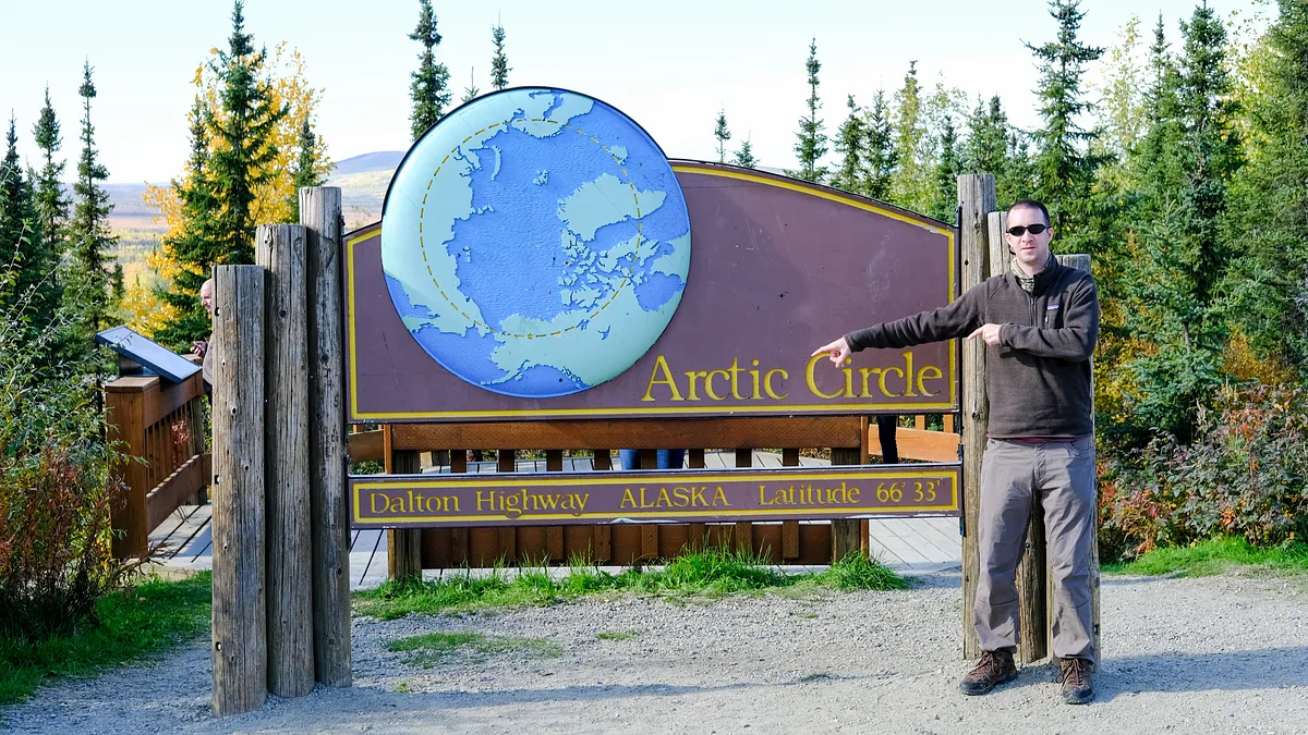
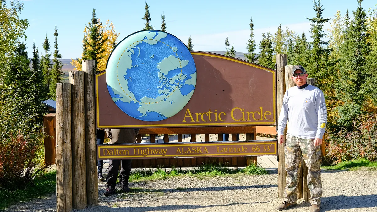
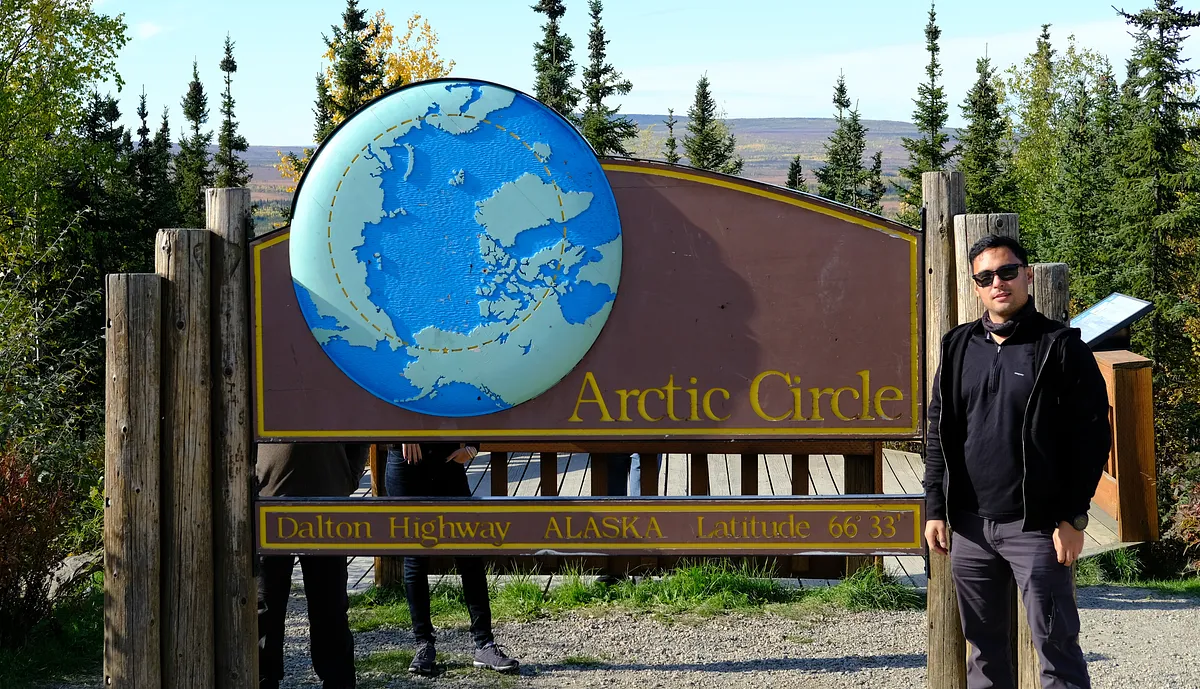
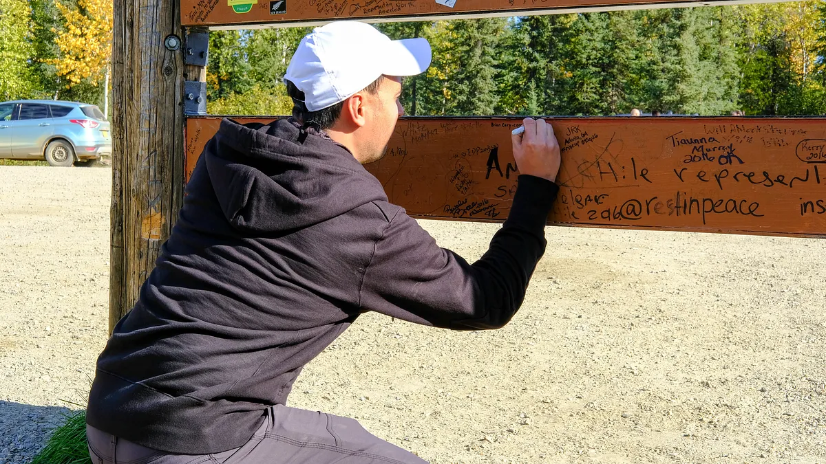
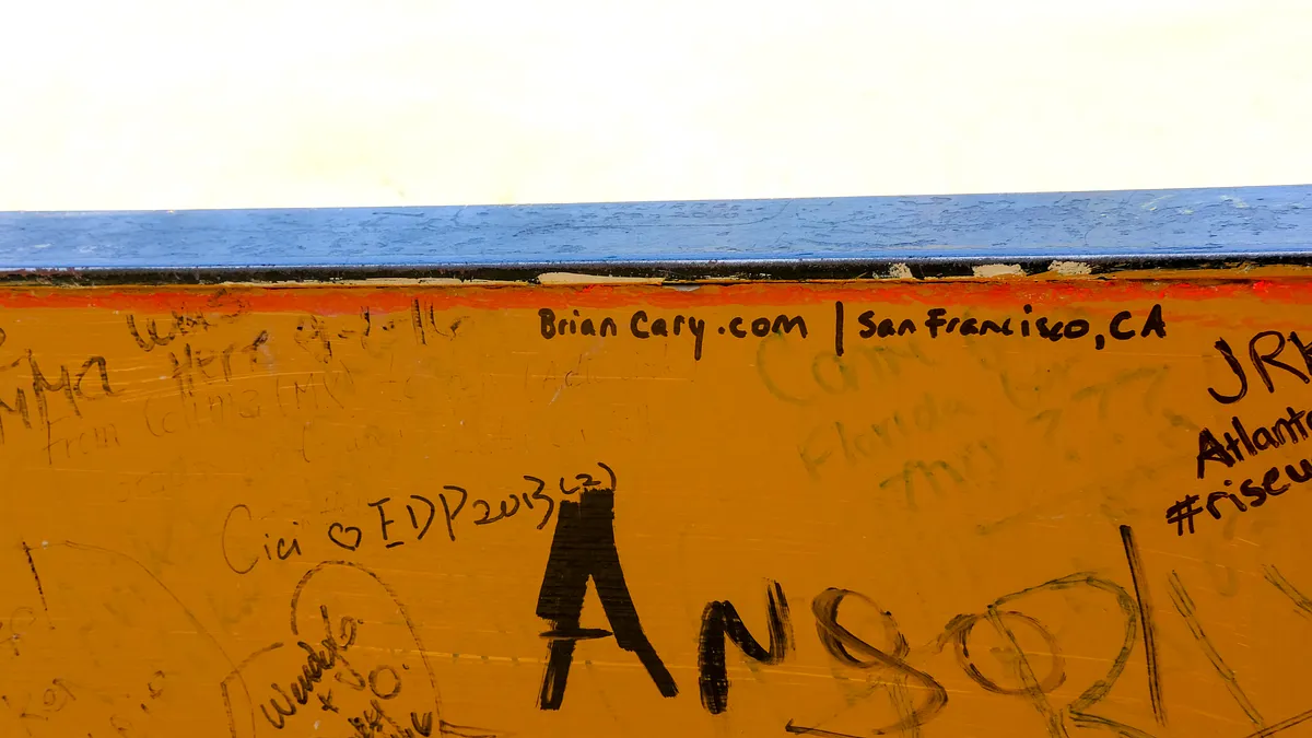
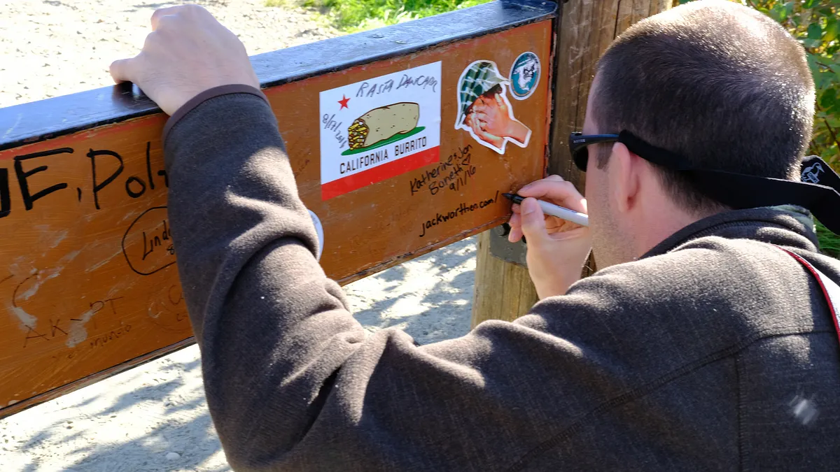
signing the back of the sign
Signed: briancary.com jackworthen.com/photography
nature
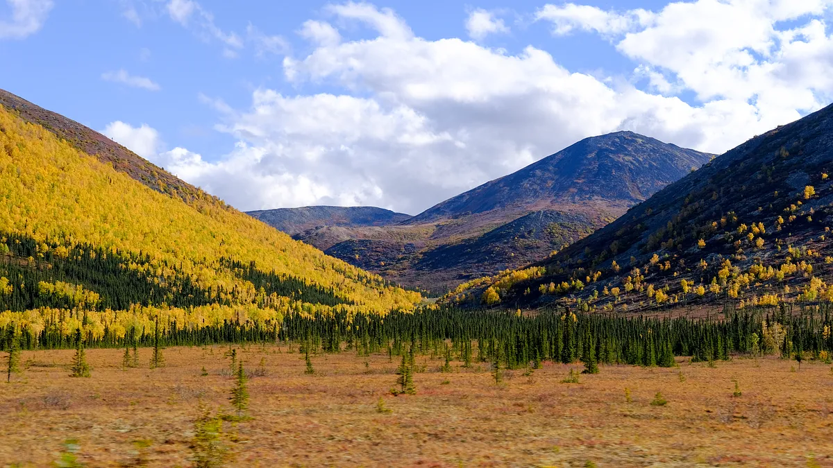
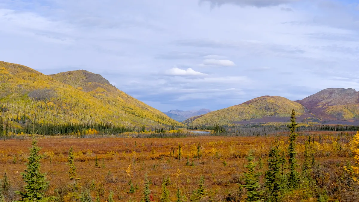
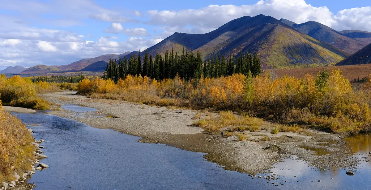
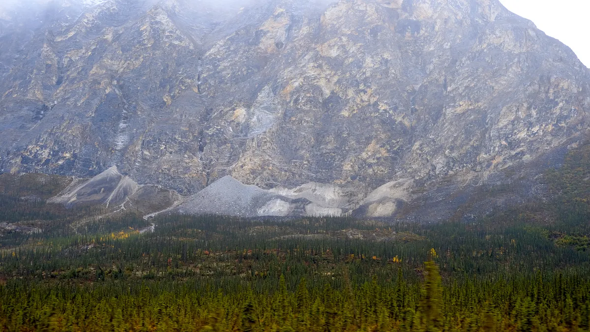
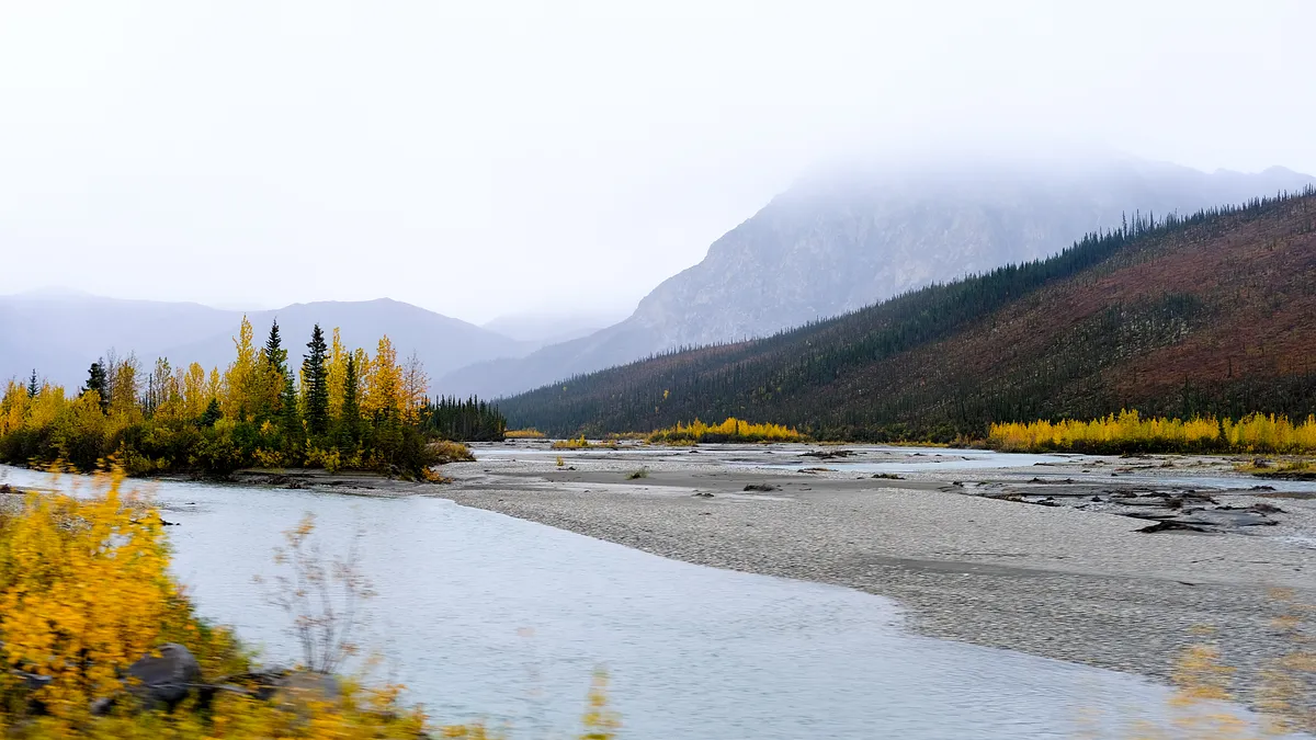
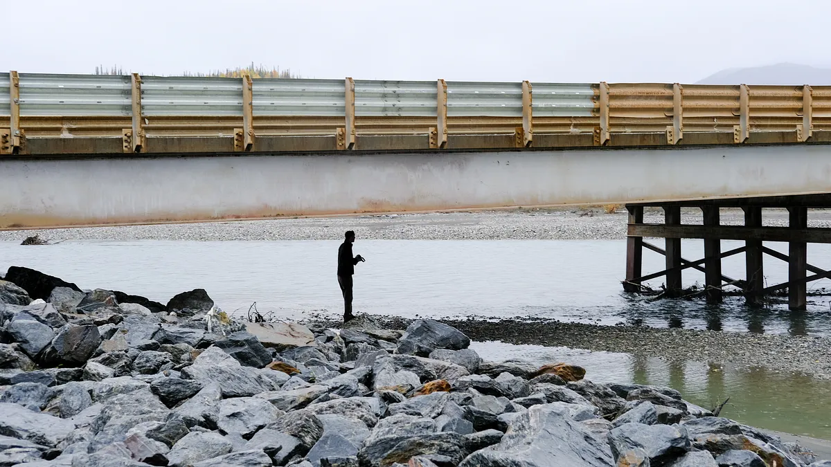
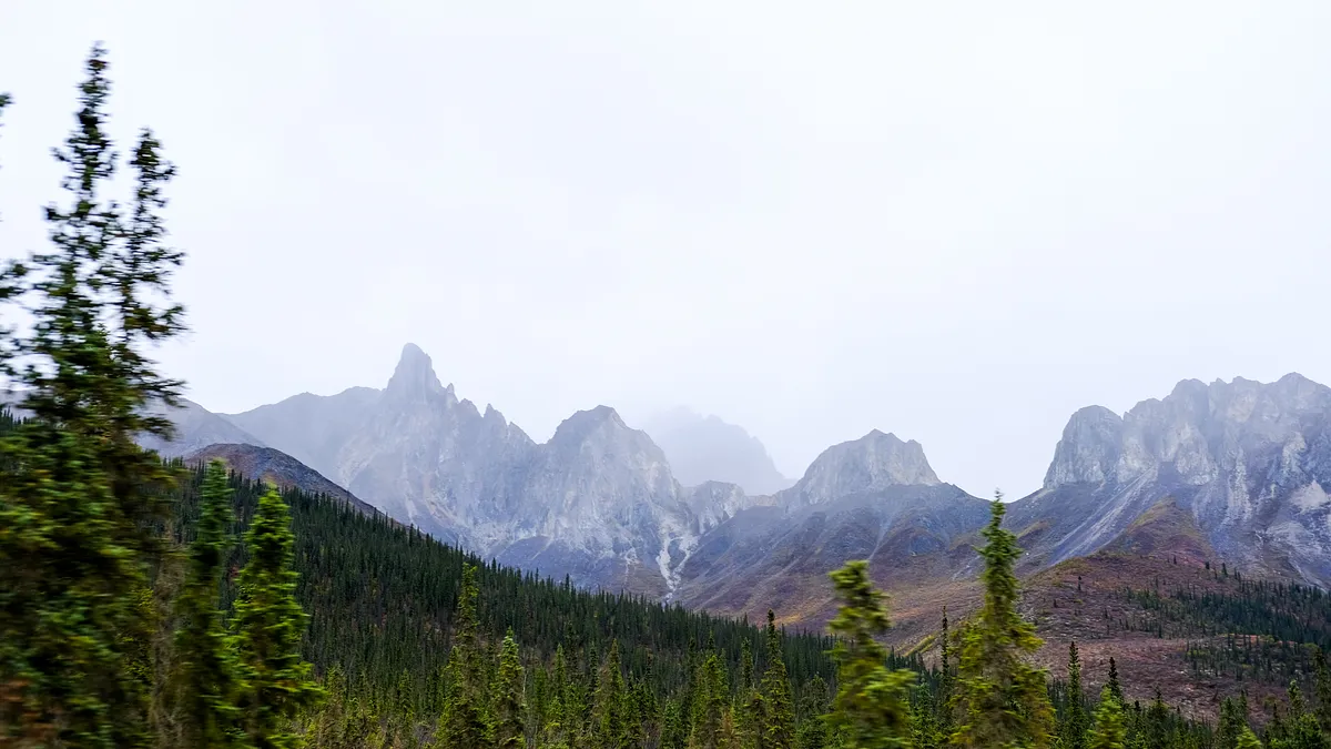
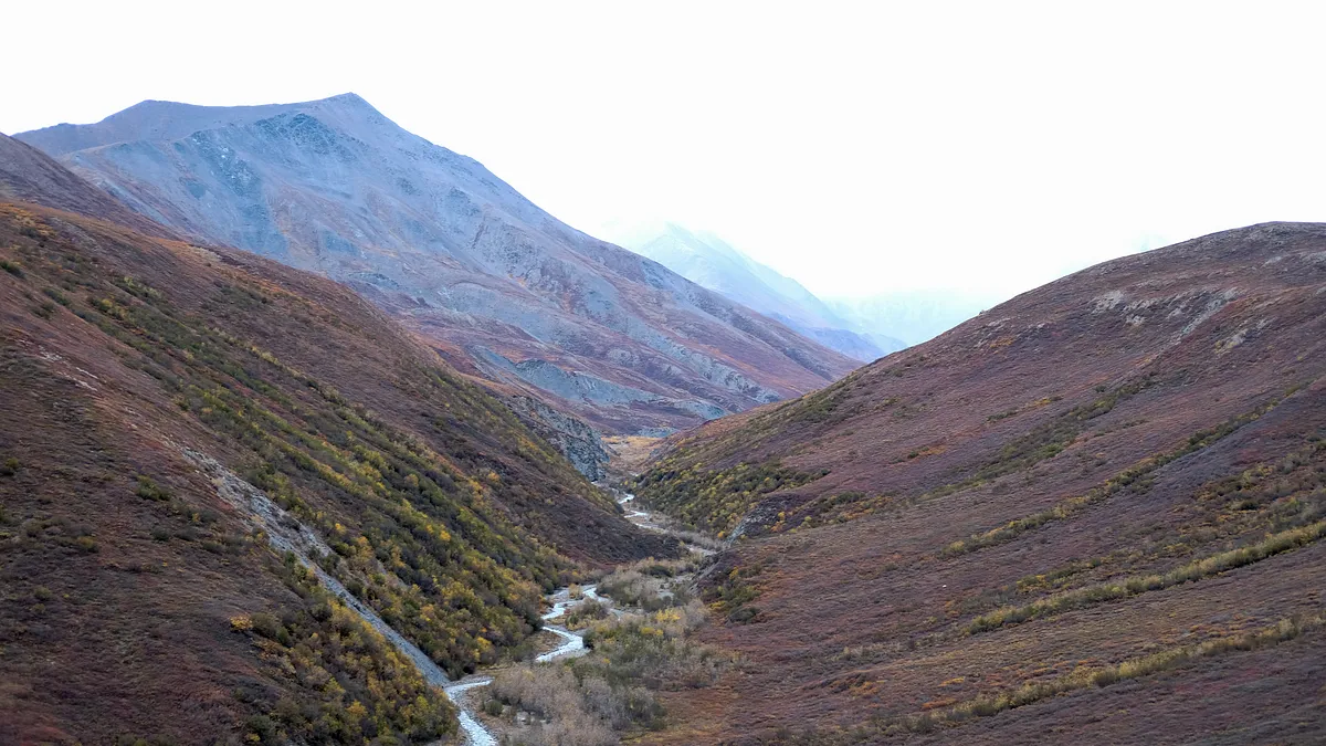
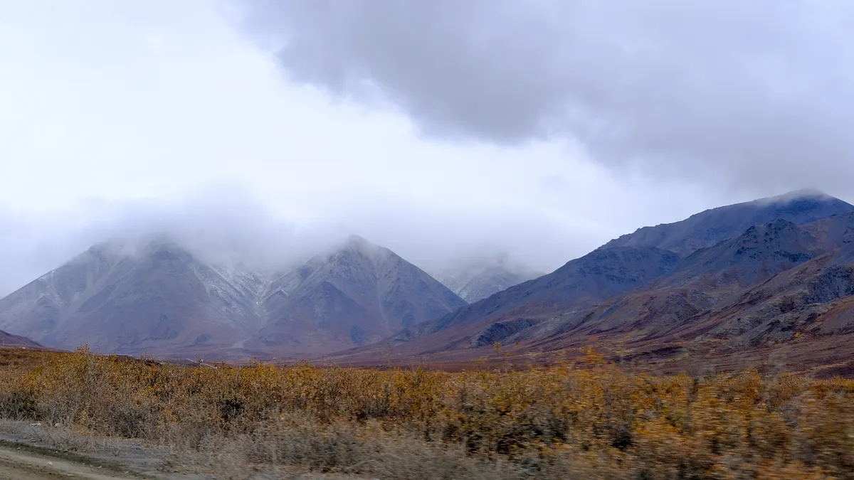
Nature was stunning in all directions once we passed the Arctic Circle sign. Like most people who make their way up here, the Costa Rican family went back south in the direction of Fairbanks after reaching the Arctic Circle sign. I was glad that we went north.
atigun pass
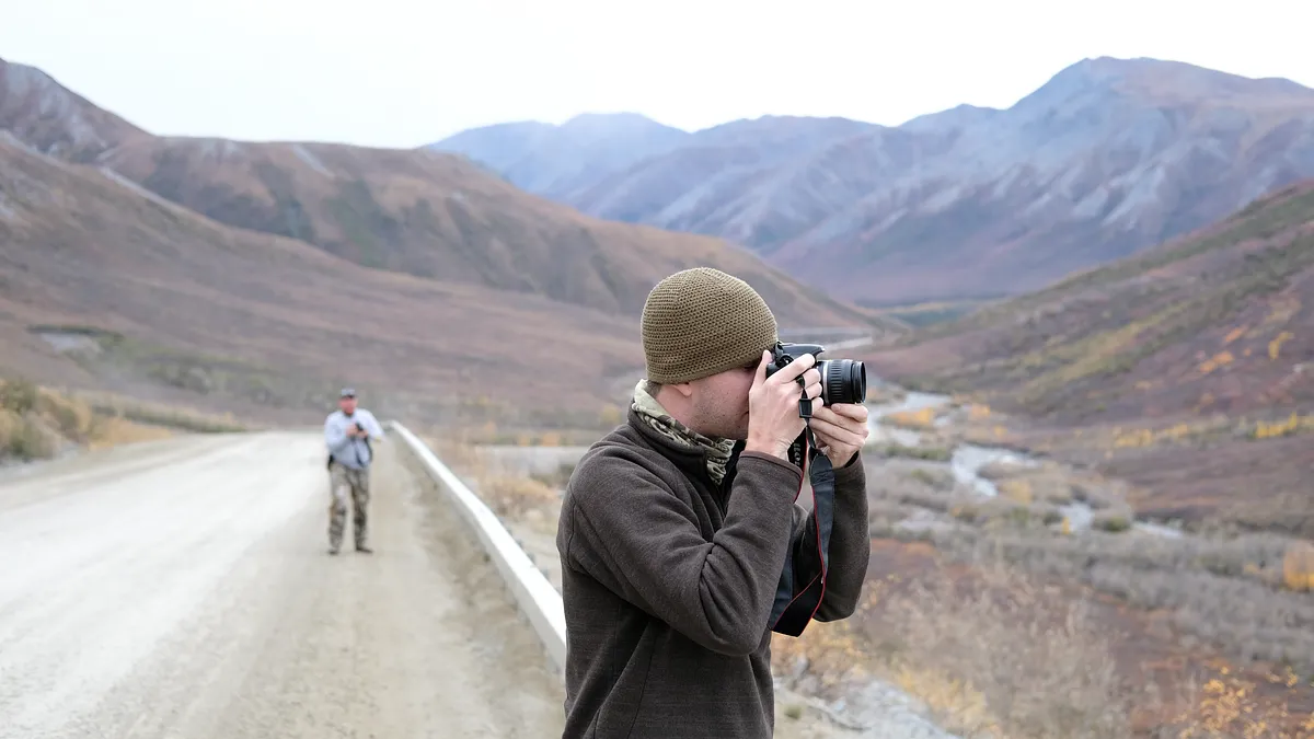
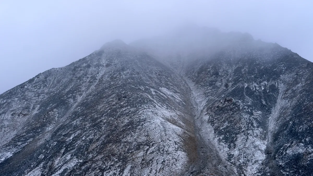
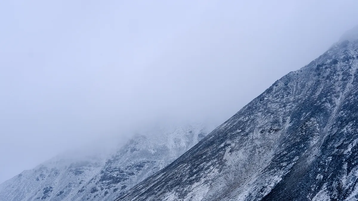
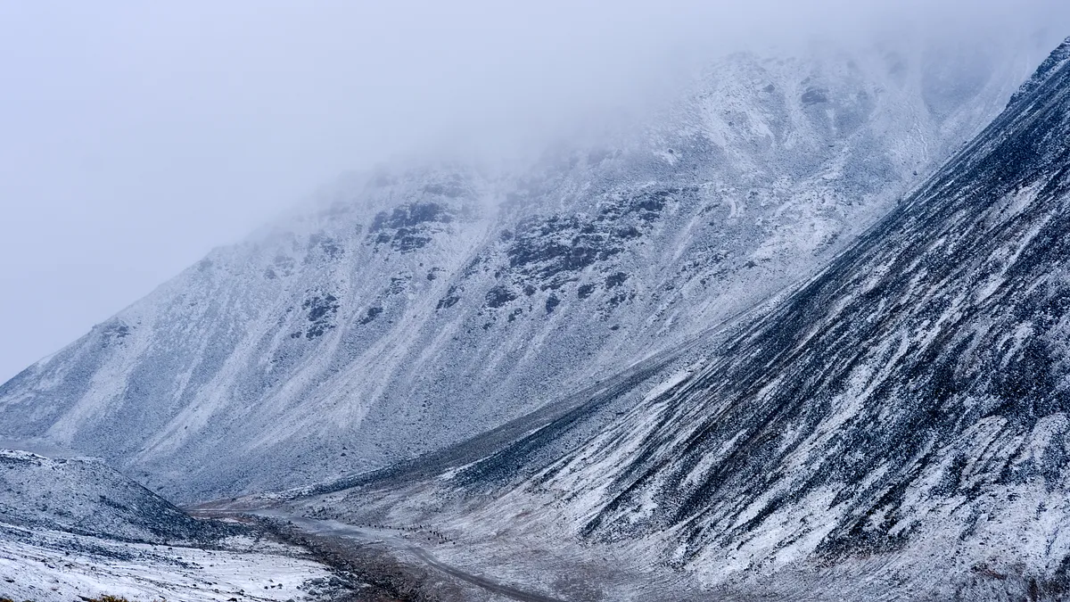
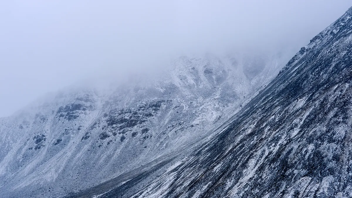
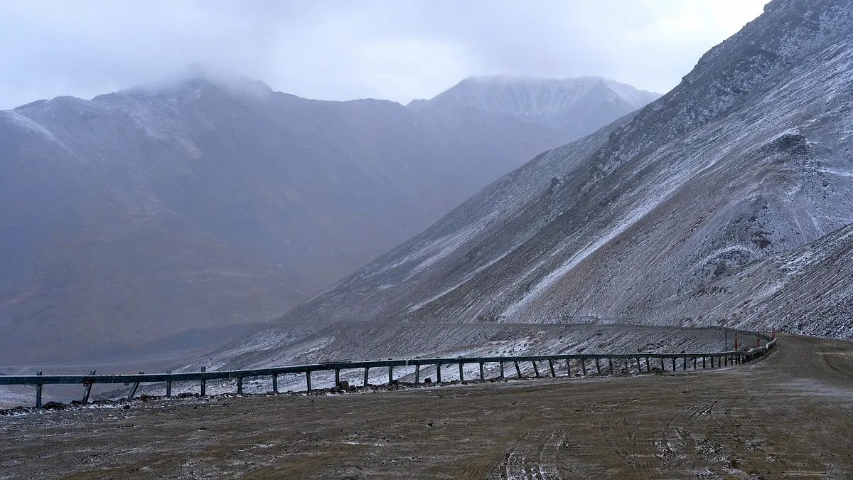
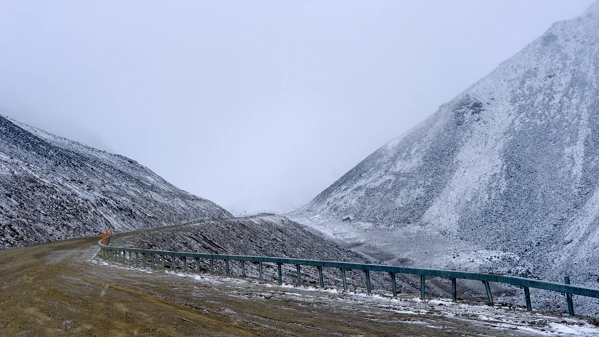
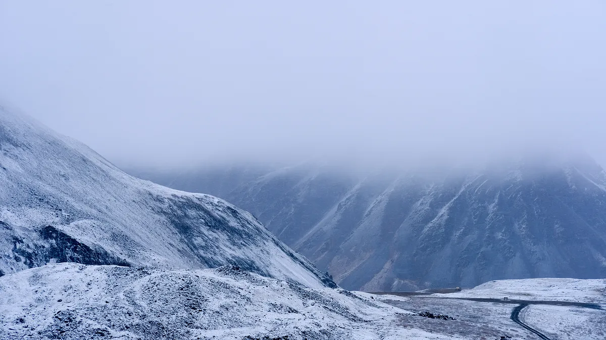
This high mountain pass at 4,739ft took us through the Brooks Range and past the Continental Divide. There are 45-50 avalanche zones during this pass, making it one of the hardest passes to cross in the United States. Thankfully we did not have any problems and were able to step outside to take some photos of the scenery.
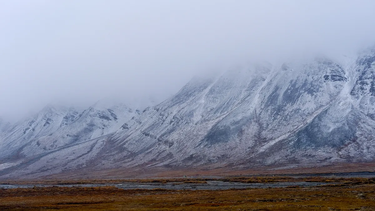
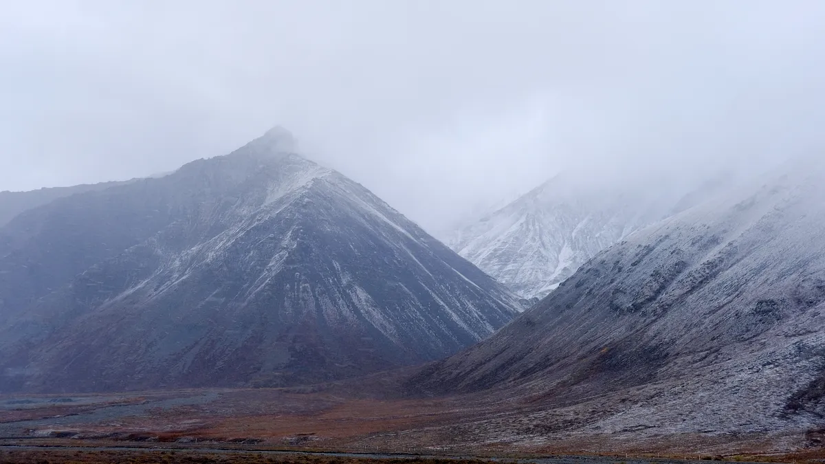
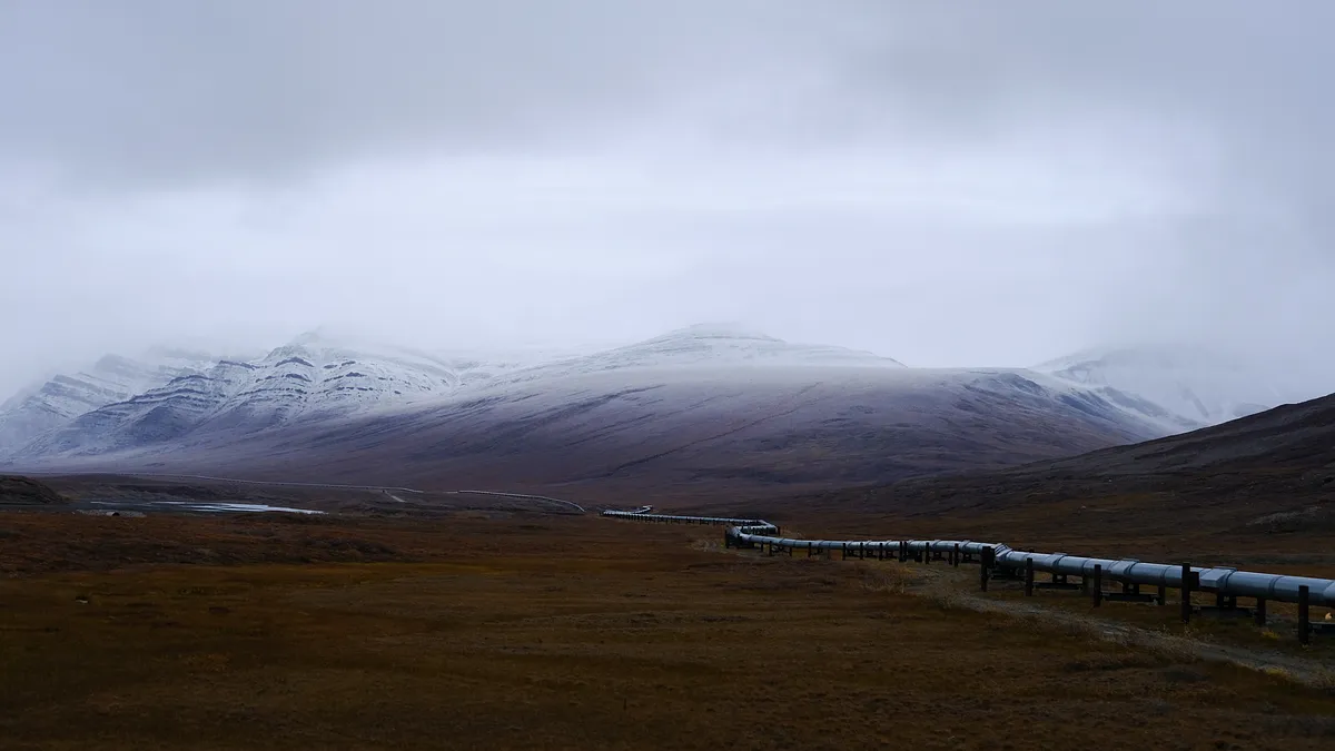
Alaska north slope
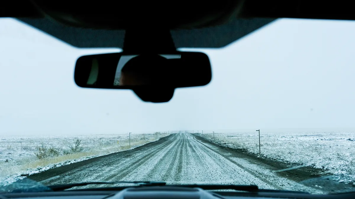
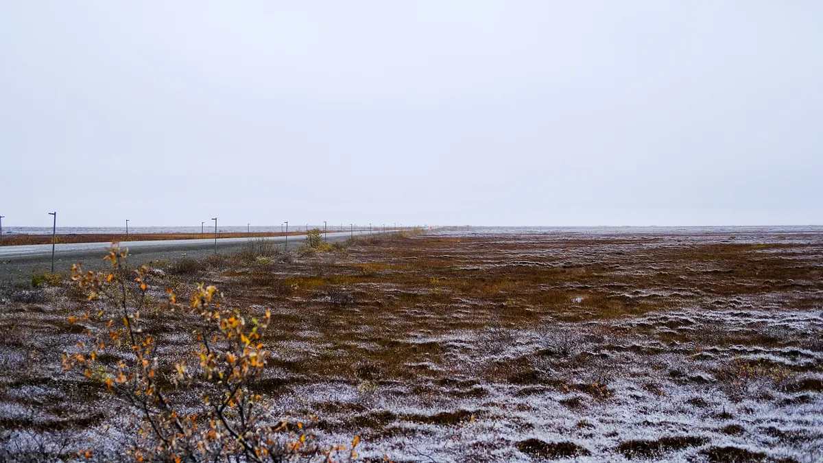
Completing our way through the mountain pass, we had made it to the North Slope region of Alaska, and forged onward.
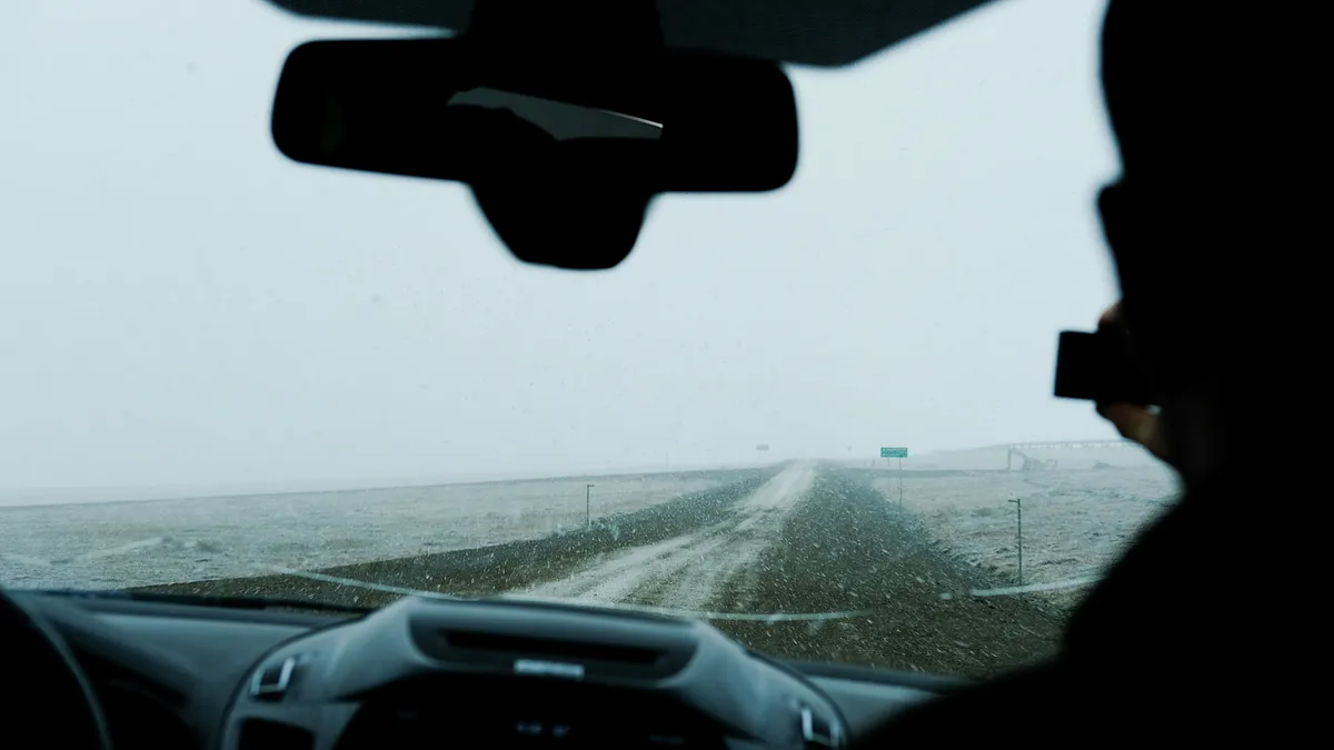
arctic tundra
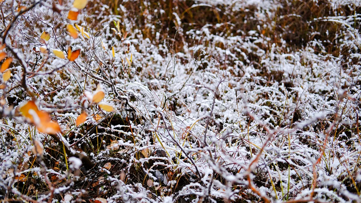
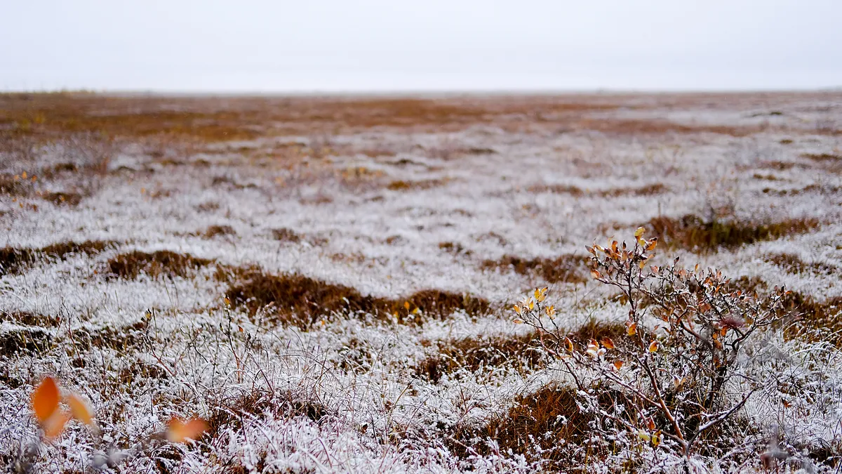
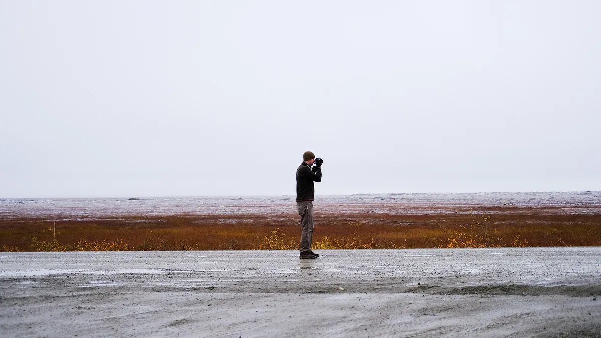
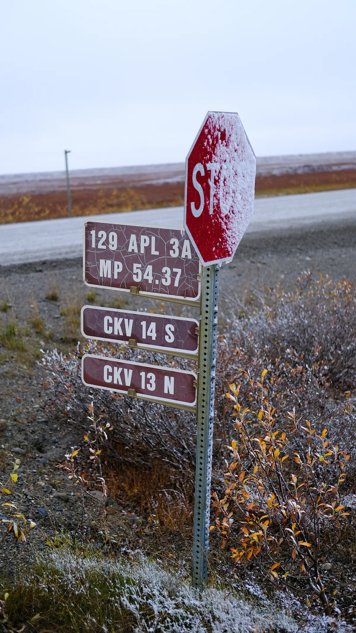
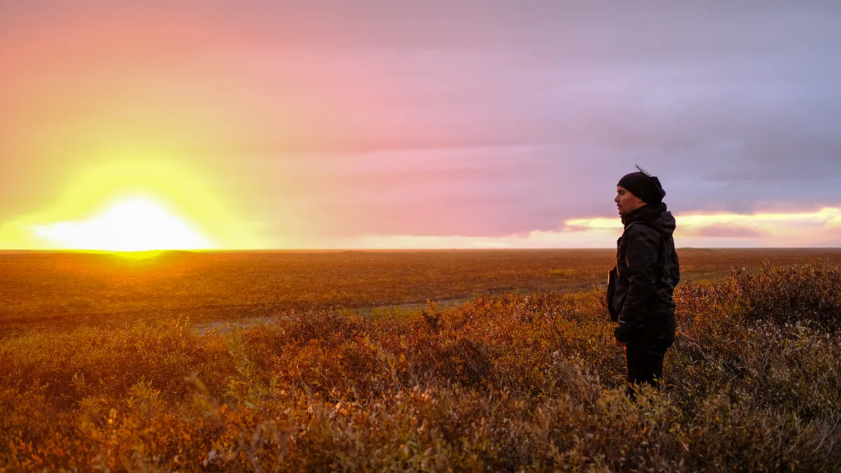
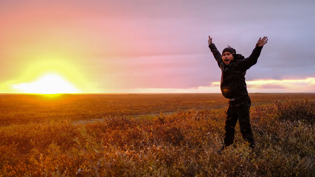
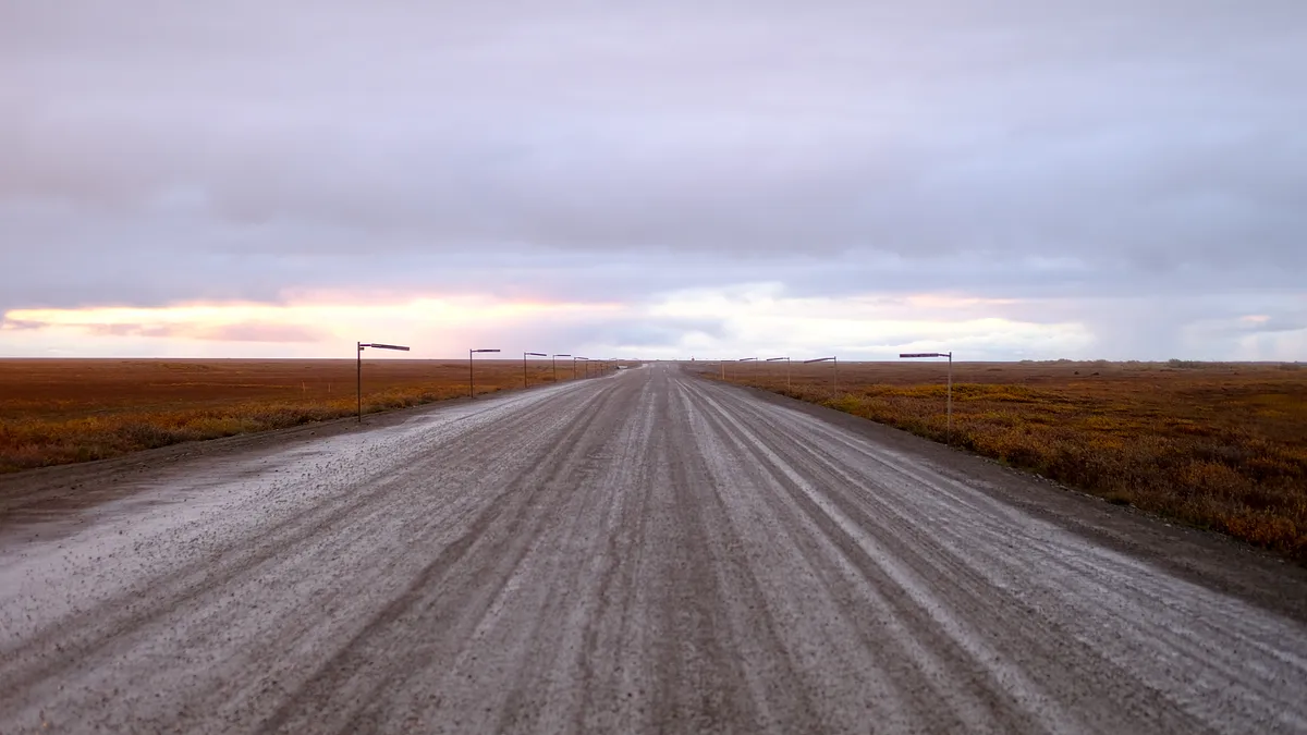
deadhorse
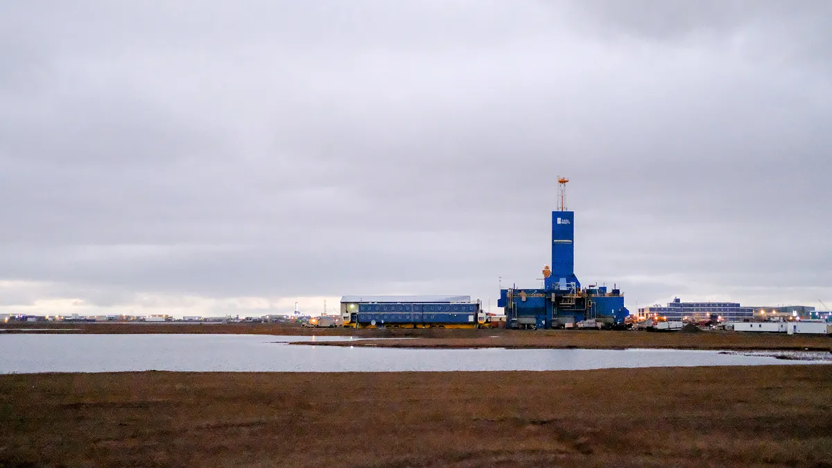
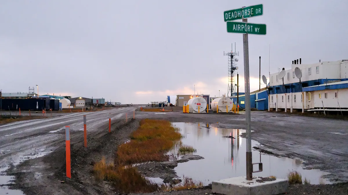
We made it to Deadhorse in Prudhoe Bay around 10pm at night. The daylight was still visible, and there was no one in sight. Our first goal was to fill up on fuel, and we drove around for about 20 minutes looking for the gas pumps.
heading south to coldfoot
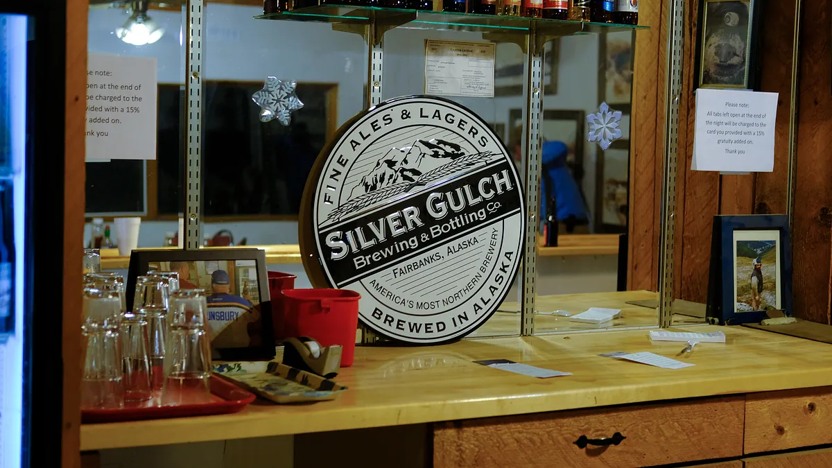
We had a small meal of sandwiches at the local mess hall, sent a few messages to friends and posted some photos to social media before making our way back down to Coldfoot. I didn’t capture much of this part of the trip - it was dark and I was keeping my eyes on the road to make sure at least 2 people were watching the road at all times. I ended up falling asleep in the car around 3:30am once Kerry woke up from a nap, and could take on watch duty. I woke up at 6:30am at Coldfoot. Jack and Kerry had gone inside and filled up on breakfast and took a shower. I wasn’t terribly hungry but a hot shower sounded nice, so I paid the $16 fee and was taken to the camp showers where I got fresh again. We found a great campsite south of the Arctic Circle crossing, set up camp, and slept most of the day. Around 7pm we made our way back to Coldfoot for a hot dinner, and to kill time with some internet access before returning to the campsite.
aurora borealis
We made our way back to our campsite around midnight and stopped on the highway once the Northern Lights popped into view. For an hour or so we were mesmerized by its glow, watching it fade in and out and dance across our periphery. Once we drove to camp, the lights were glowing through the trees, and they flickered across the sky as soon as I got out of the vehicle. I could hear the particles collide as as parts of the sky lit up intensely overhead. I stayed up for another hour watching the lights hoping to see more of the intense collisions, and eventually went to sleep in my tent with the green glow illuminating my tent. We went to sleep that night watching the Northern Lights, and it was amazing.
day 3: drive back to fairbanks
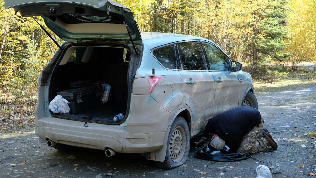
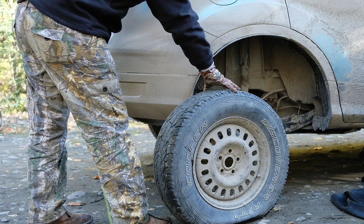
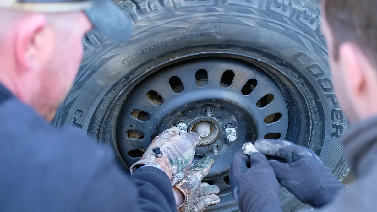
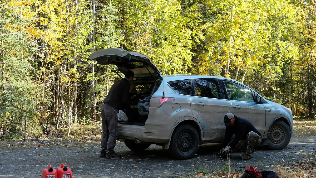
The next morning we didn’t hang around camp for very long, but we did notice that we had a flat tire right before we were going to leave (thankfully this didn’t happen the previous night). We sprung into action and got the tire changed quickly and without hassle, puttins us back on the road again.
clear skies, open highway
Confident in his ability to read the road well at this point, Jack drove us swiftly through the rugged terrain back down south. We planned on stopping back at Yukon River Camp for lunch, so we had a number of hours to take in the scenery before making it back to civilization.
Yukon river camp
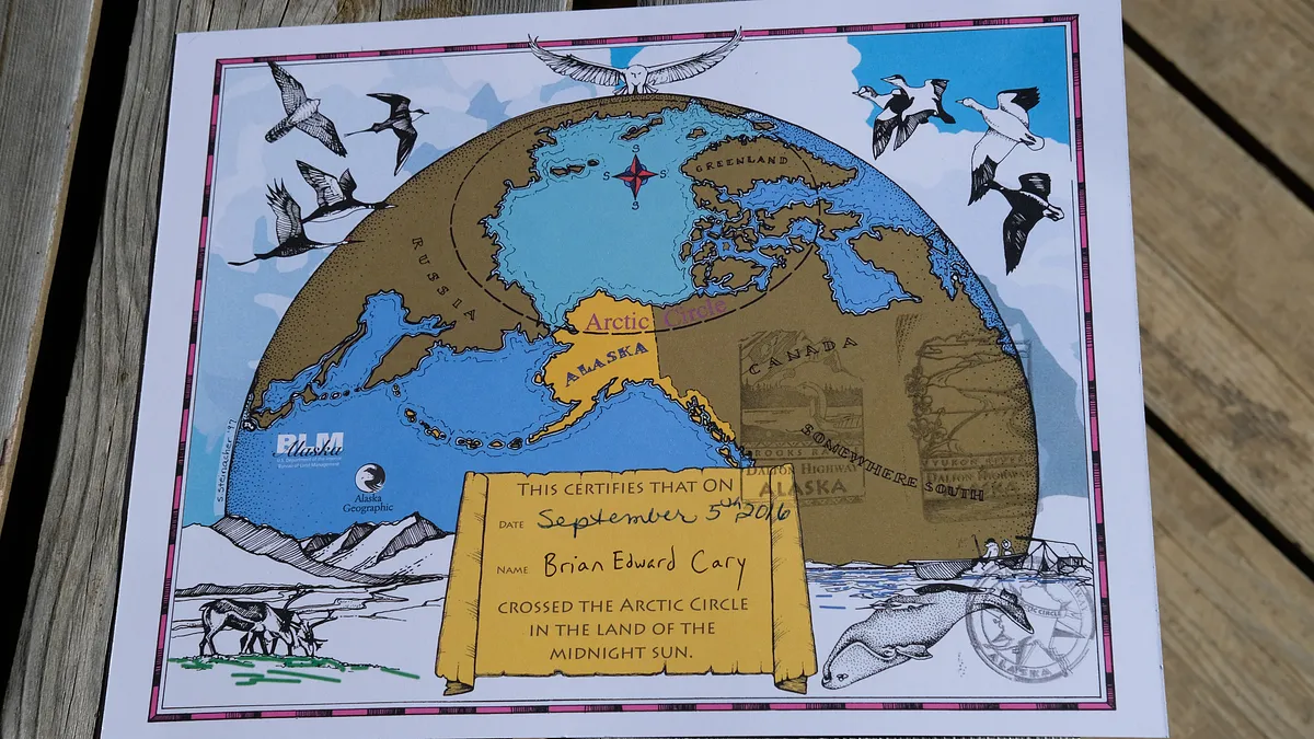
After a hot lunch we explored the area around Yukon River Camp, took photos by the Trans-Alaskan Pipeline, and checked out the two tourist booths. The welcome center offered a certificate to commemorate the travel experience of coming up this far, and I was eager to get mine. The lady knew we had already been up to Prudhoe Bay, so we gave me 3 stamps: one for reaching the Artic Circle, one for reaching Yukon River Camp, and one for passing through the Brooks Range. I still have yet to mount my certificate, but it is something I’m proud to have accomplished. After we reached Fairbanks and checked into our hotel, we ate a nice dinner at the Turtle Club. Large prime rib steaks, halibut, and king crab legs were consumed. During the rest of our travels, we spoke with a number of Alaskans about our journey. To our surprise, most haven’t been up to Yukon River Camp, and there was a single digit number of people we met who’d actually gone all the way up to Deadhorse. We felt a strong sense of collective accomplishment by making the trip, now knowing that even Alaskans think that what we did is crazy. Well, yes it was sort of insane to do, but thanks to Jack we made it happen. Enduring hardship (driving for 15+ hours in a day), seeking adventure in the unknown, taking a risk and camping in remote wilderness in the Arctic Circle where large animals live - these were the elements of the trip that appealed to us. I don’t know if I’ll ever go back to where we went, but for the time being, I have my certificate, some photos, and some shared stories of this adventure that took us as far north as we could go in the United States on a designated highway.